



Protection of agricultural land had to go hand-in-hand with legal certainty for the people and business operators. Alignment of land/agrarian data, fit with spatial plan, and information openness were critical for preventing land use conflicts as development needs increased.
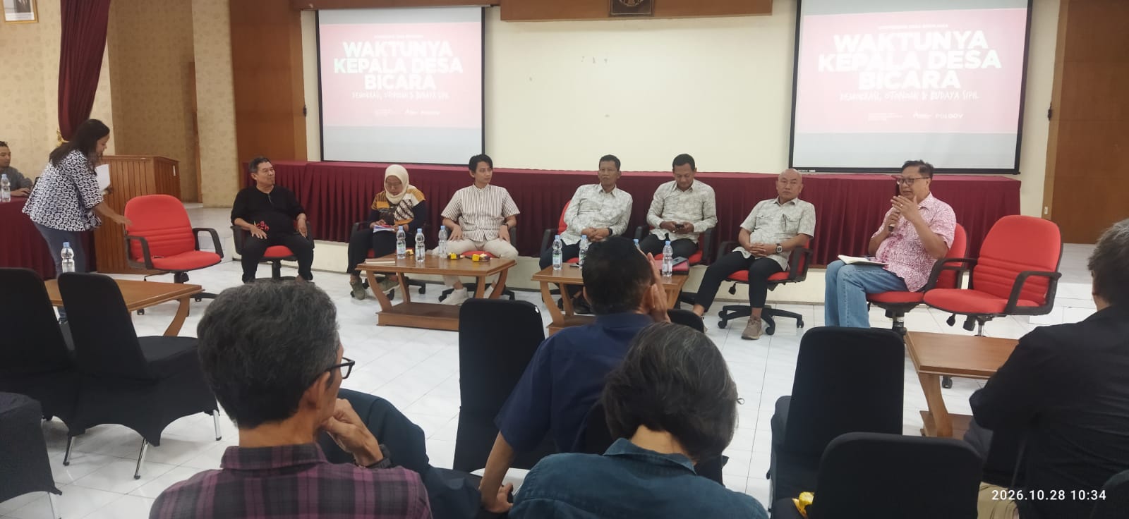
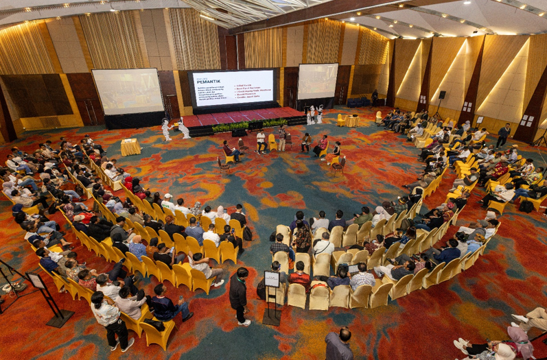
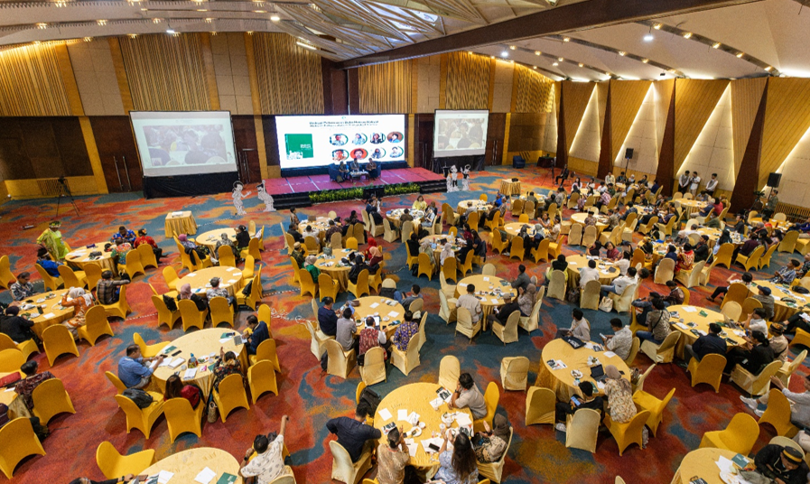
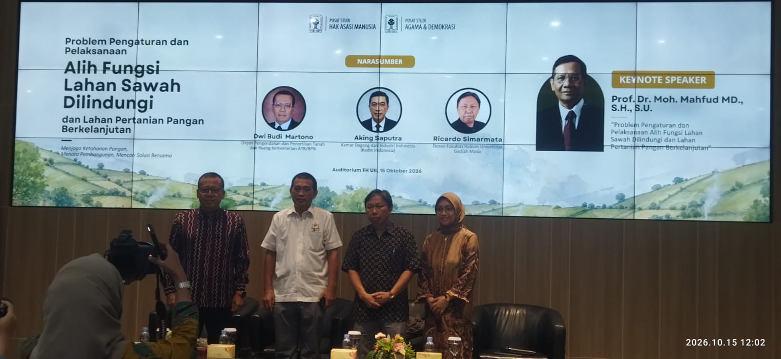
The Directorate General of Agrarian and Spatial Control and Enforcement of the Ministry for Agrarian Affairs and National Land Agency, Dwi Budi Martono highlighted the issue during a public discussion on agricultural land protection and legal certainty organised by Human Rights Study Centre (Pusham UII) and Religion and Democracy Study Centre of Islamic University of Indonesia at Law Faculty Hall on Thursday (15/10/2026). He indicated that agricultural land protection policy could not be detached from the needs to maintain national food security and to accommodate economic development.
Dwi argued that agricultural land, particularly rice fields, had critical role(s) in ensuring fulfilment of the right to food. For that reason, its existence had to be preserved so that food production could meet people’s needs now and keberadaannya perlu dipertahankan agar produksi pangan dapat memenuhi kebutuhan masyarakat sekarang in the future. The issue was land conversion, as the need for residential areas, industries, and infrastructure increased. Meanwhile, opening new agricultural land not necessarily replaced lost agricultural land.
Dwi reminded that industry development and other economic activities did not have to ignore sustainability of agricultural sector. Both had to be managed equally through land use and spatial plan policies.
Data and Spatial Alignment
One challenge in agricultural land protection policy implementation was inconsistency of data used in planning, zone determination, and permit processing. Dwi said that data issue could lead to uncertainty when communities or business operator(s) wanted to make use of land for development. Unclear land status and zoning potentially inhibited investment process and led to legal issues.
For that reason, determination of protected agricultural land had to be based on accurate information about the land, tenurial status, allocation history, and fit with spatial plan. Control of land conversion also needed inter-agency coordination with regards to land, spatial plan, agriculture, and development. National and sub-national governments had to synchronise data and policies so that implementation did not leave room for misinterpretation.
Dwi emphasised that it was not enough to issue prohibition in order to ensure agricultural land protection. The government also needed to provide transparent service mechanism so that communities were able to know the basis for given zone determination and to obtain information when they found data inconsistency. In the process of land use, recommendations were critical instrument to assess the fit between planned land use and the stipulations of the regulation. An inspection needed to be carried out based on relevant documents and data, not simply to fulfil administrative requirements.
Openness with regards to Land Information
Dwi also talked about the use of digital technology to broaden community access to land information. One means she suggested was the Bhumi application, useful to see information about land and its land use status. Such access to information helped communities and business operators conduct initial inspection prior to land purchase, submit permit application, or start construction.
By knowing land status early, the potentials for problems related to protected zone determination could be identified early. Should there be differences between available information and field condition, the issue had to be examined through proper mechanism. Yet, information openness had to go hand-in-hand with data updates and data inspection on a regular basis. Inaccurate information or information that had not been updated risked creating misunderstanding and inhibited services.
Dwi said that land information system had to be continually updated so that data presented could be accounted for. Use of digital technology not only helped provide easier access to information, but also improve transparency in land policy implementation.
Land Use Alternative
In addition to data and spatial plan update, Dwi also explored the State’s role(s) in land management for development purposes. Land was a limited resource hence its use had to take into consideration people’s needs, economic activities, and environmental sustainability. In such context, Land Bank could become an instrument to support land availability and management for development purposed. Its implementation had to be guided by clear policy framework and had to consider public interests.
Dwi explored the possibility of vertical housing development as one alternative to meet the housing needs, particularly in urban areas where the needs for land were very high. Horizontal housing development needed extensive land. If opening new land was primary means of meeting housing needs, the pressures would potentially increase to use agricultural land. Vertical housing development could be one alternative to optimise urban land use.
Yet, its implementation necessitated policy supports, investments, and support facilities. The government also had to review a variety of possibilities with regards to regulating rights to land and the use for buildings so that development could go hand-in-hand with the law. Dwi also touched on the idea of ecological compensation when development impacted the environment. That necessitated preparing a mechanism that could be measured and not used as reasons to disregard agricultural land protection.
Balancing Food Security and Development
Dwi emphasised that agricultural land protection and economic development had to be considered in relations to mutually supportive policy framework. The government had to ensure that protected zone determination had to be based on accurate data, transparent procedure, and clear conflict resolution mechanism. Aligning spatial plan, land data, and land protection policy were critical for that measure. Inconsistency amongst the three could lead to legal issues for the communities and business operators.
National and sub-national coordination had to be consolidated so that every policy had clear legal basis and was consistency applied. Agricultural land protection, Dwi argued, was not simply about keeping a piece of land, but importantly ensuring sustainability of food production. On the other hand, legal certainty was necessary so that communities and business operators understood the regulations when they were using land.
Through integrated planning, information openness, and consistent implementation of regulations, development needs could be fulfilled without neglecting sustainability of agricultural land and national food security. (Ast)